In 2017, the Oak Ridge Leadership Computing Facility celebrated 25 years of leadership in high-performance computing. This article is part of a series summarizing a dozen significant contributions to science enabled by OLCF resources. The full report is available here.
Since 2010, a multi-institutional team led by Thomas Jordan of the Southern California Earthquake Center (SCEC) has been using OLCF supercomputers to simulate earthquakes at higher wave frequencies and to assess the hazards posed by seismic activity to cities and critical infrastructure.
Beginning with the Cray XT5 Jaguar and continuing on the Cray XK7 Titan, Jordan’s team carried out large-scale simulations to predict the intensity of ground shaking at specific sites in earthquake-prone Southern California. The results from individual earthquake simulations help inform and improve SCEC’s CyberShake platform, the first physics-based probabilistic seismic hazard model, which requires large ensembles of earthquake simulations. City planners, structural engineers, and emergency preparedness officials, in turn, are considering CyberShake results for decision-making processes to update infrastructure, building codes, and emergency response plans.
SCEC’s advanced earthquake system science projects can help mitigate the effects of large earthquakes (including those on the next well-known San Andreas Fault), saving lives and curtailing the cost of damage by providing more accurate seismic hazard information for California. Furthermore, the modeling tools created by Jordan’s team can be applied to other at-risk regions around the world.
The Science
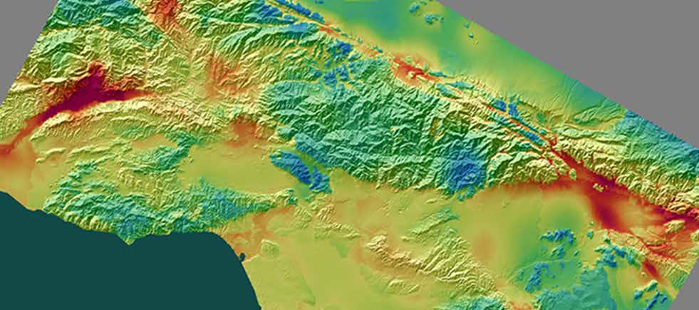
The CyberShake seismic hazard map shows the magnitude for the Los Angeles region, defined by the amount of change of a surface or structure in a 2-second period. The map provides engineers with vital information needed to design more seismically safe structures.
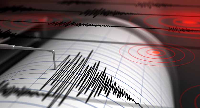
When an earthquake strikes, its destructive effects on nearby areas can vary greatly based on a range of factors, including the quake’s strength, its depth of origin, and the terrain through which it travels. Scientists and engineers measure the frequency of seismic waves, the energetic vibrations that ripple through the Earth, to determine how the shaking will affect buildings and other societal infrastructure.
Seismic wave frequency, which is measured in hertz (cycles per second), is important to engineers who are designing buildings, bridges, and other infrastructure to withstand earthquake damage. Low-frequency waves, which cycle less than once per second (1 hertz), are easier to model. Tall buildings (20 stories or higher) are most affected by shaking at these frequencies. High-frequency waves (in the 2–10 hertz range), however, are more difficult to simulate, requiring extremely detailed models and significantly more computing resources. These types of quakes affect smaller structures like hospitals, highways, and homes.
To predict the effects of high-frequency quakes in Southern California, Jordan’s team has calculated the propagation and ground motion of waves radiating from the San Andreas Fault using a 3D model of the Earth’s crust. These simulations require highly realistic earth models and wave propagation software which account for factors such as topography, gradual energy loss, and small-scale heterogeneities.
In 2010, the SCEC team used the 1.75-petaflop Jaguar to simulate a magnitude 8 earthquake along the San Andreas Fault. Those simulations peaked at 2 hertz. At the time, the Jaguar simulations were conducted, doubling the wave frequency would have required a 16-fold increase in computational power. But on Titan in 2013, the team was able to run simulations of a magnitude 7.2 earthquake up to its goal of 10 hertz. By modifying its CPU-based code, AWP-ODC, for Titan’s GPU-accelerated architecture, the team significantly improved speedup, producing higher-resolution results in a fraction of the time.
In 2015, Jordan’s team released an updated CyberShake map for the Southern California region that incorporated simulations for 336 separate locations in the region and doubled the maximum simulated frequency from 0.5 to 1 hertz. The map marked a significant step forward in supplying policymakers with an unprecedented tool for weighing the risks of seismic activity. In 2017, the team used Titan to calculate the first 1 hertz CyberShake physics-based seismic hazard model for Central California.
“We are at a point now where computers can do these calculations using physics and improve our ability to do the type of analysis necessary to create a safe environment for society.” —Thomas Jordan, Southern California Earthquake Center
The Legacy
As more people move to cities in seismically active regions, the potential costs of a devastating earthquake will continue to increase. The techniques being pioneered by Jordan’s team are improving scientists’ understanding of earthquakes, helping civic leaders prepare for rare, disruptive events, and giving earthquake engineers new tools for predicting strong ground motions and their effects on the built environment.
Impact studies following SCEC’s scenario simulations became a motivation for the City Of Los Angeles to develop its new city-wide earthquake resilience and preparedness plan, Resilience by Design. And, although earthquake prediction is still in its infancy, the simulation data being produced by Jordan’s team is being used to train machine-learning algorithms as part of California’s Earthquake Early Warning system, potentially increasing the time citizens have to respond to the imminent threat of a quake.
Related Publication: Jordan, T. H. (2015), Societal Impact of Earthquake Simulations at Extreme Scale, in Proceedings of the International Conference for High Performance Computing, Networking, Storage and Analysis, ACM.